About Makarfi
Discover the culture, geography, and economy of Makarfi Local Government Area.
General Information
Leadership
- Executive Chairman: Hon. Garba Muhammed Sabongari
- Vice Chairman: Deputy Chairman
Location & Geography
- Location: Northern Kaduna State, Nigeria
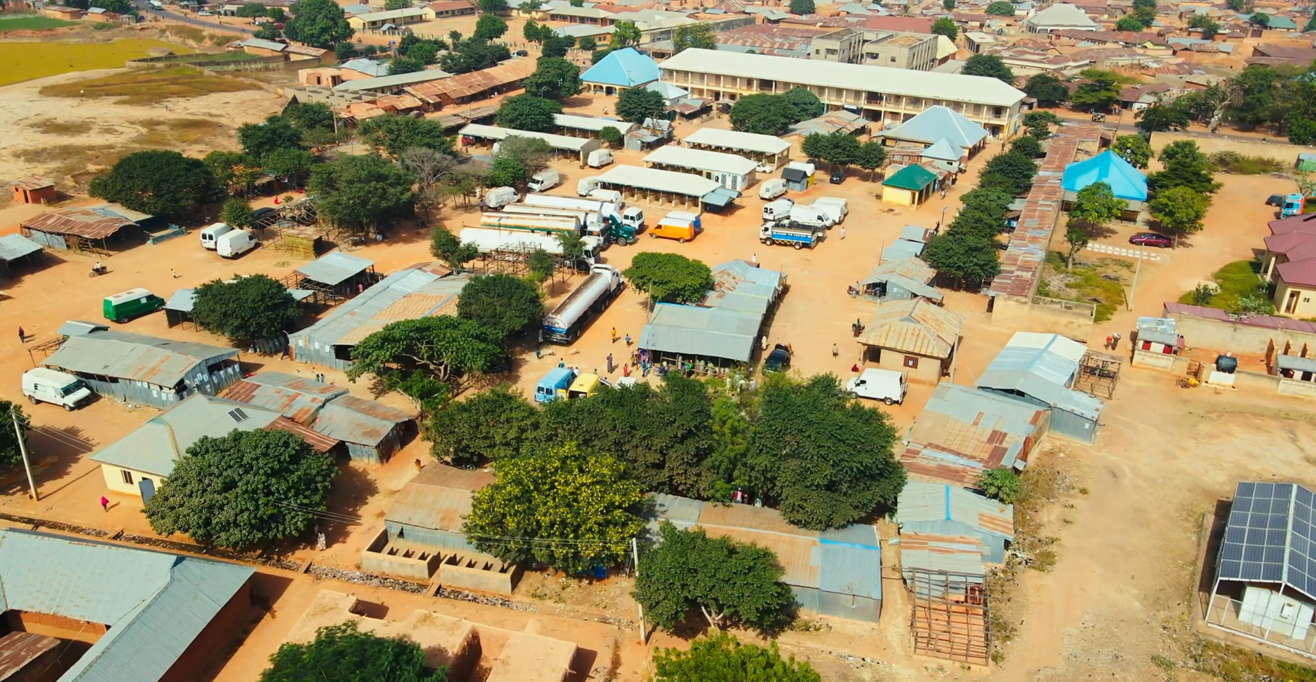
- Headquarters: Makarfi
- Coordinates: 11°17′52″N 7°58′09″E
- Area: 541 km²
- Neighboring LGAs: Ikara, Kubau, and Kudan, and parts of Kano State
Demographics
- Population: 146,259 (2006 Census), estimated 150,000
- Major Ethnic Groups: Hausa and Fulani
- Languages Spoken: Hausa (predominant), English, Fulfulde
- Religion: Predominantly Islam, with Christian communities
Economy & Climate
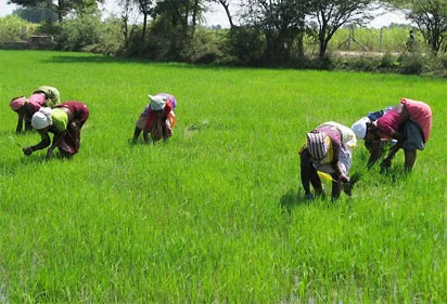
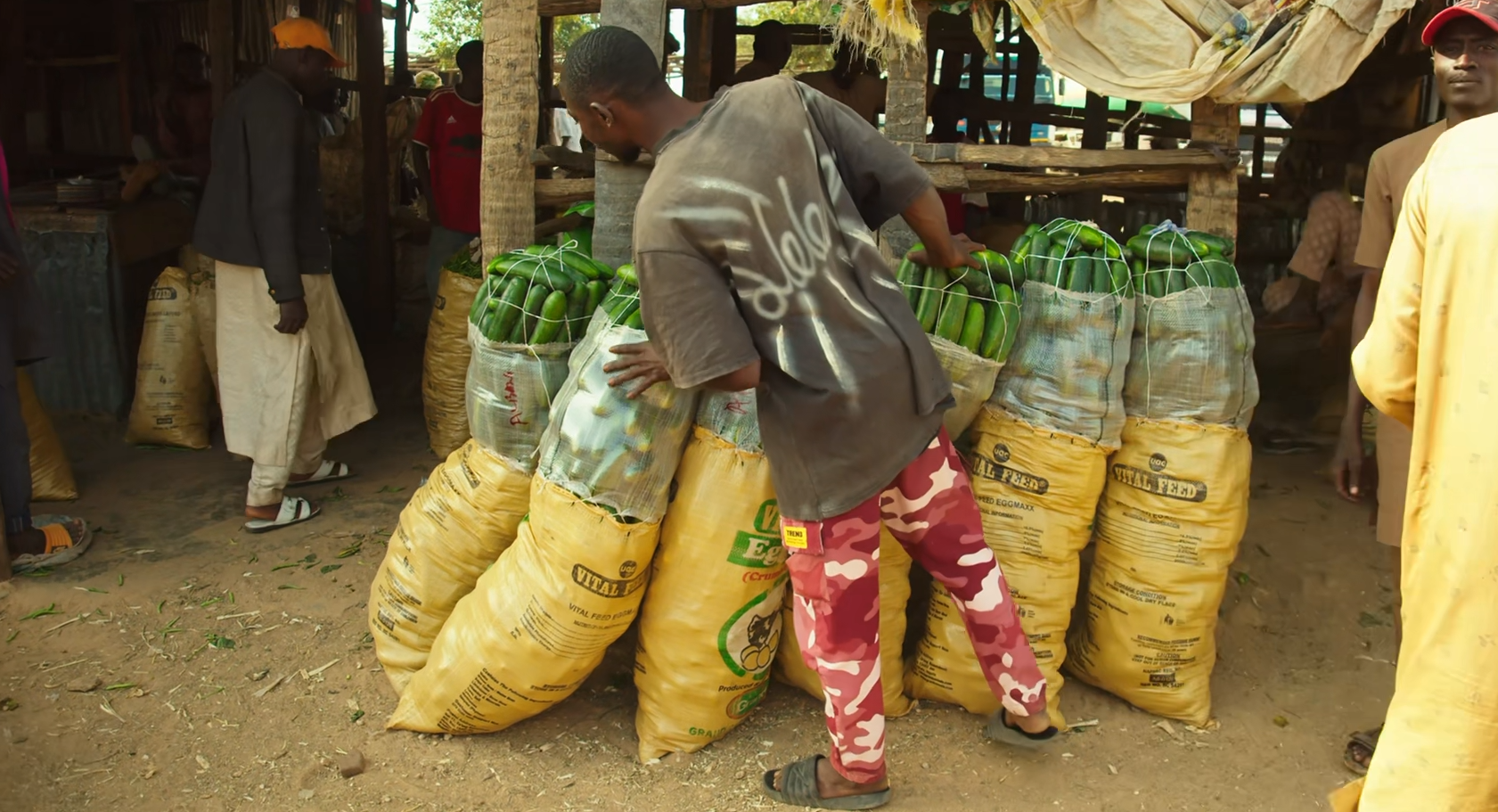
- Main Economic Activities: Farming, livestock rearing, small-scale trading, and local industries
- Climate: Tropical savannah climate suitable for agriculture
- Notable Landmarks: Shehu Idris College of Health Sciences and Technology, Makarfi General Hospital
Geography & Economy
Location
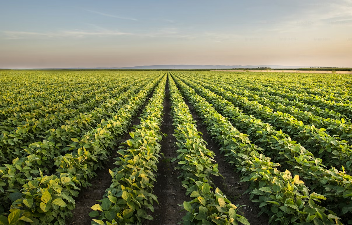
Makarfi LGA lies in northern Kaduna State and falls within the Sudan Savannah zone. The area features a savannah landscape with vast arable lands that support agricultural activities.
Climate
The area experiences a tropical savanna climate with a rainy season between May and October and a dry season from November to April. The average temperature is 32°C, and average humidity is 29%.
Main Economic Activities
- Crop Farming: Maize, millet, sorghum, groundnuts, sugarcane, tomatoes, and soybeans.
- Livestock Rearing: Cattle, goats, and poultry.
- Local Markets: The Gubuchi and Ruma markets where a variety of goods are bought and sold.
- Infrastructure: The Durum-Kuruntumawa road project, initiated to improve connectivity and support agriculture.